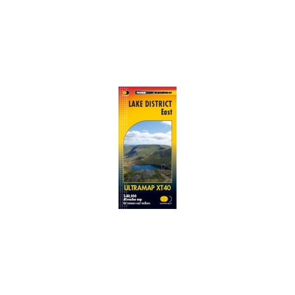
Harvey LD East Ultramap XT40
Mixed
Harvey LD East Ultramap XT40
Covers a large area yet is handily compact. Pocket perfect!
Detailed map for runners and walkers of the eastern fells of the Lake District National Park at the magic scale of 1:40,000.Features Helvellyn, High Street and fells east of the Kendal-Keswick road. The Kirkstone Pass, Ullswater, Haweswater and Kentmere are on this sheet.
Price in GBP
£11.00
- We currently have 6 in stock.
- Features
- Reviews
- Product Care
Includes 82 Wainwrights.
Has the advantages of its bigger brothers:
Fully detailed genuine HARVEY mapping
Includes Rights of Way
Use without a map case: tough and 100% waterproof
Opens directly to either side of the sheet
Scale: 1:40,000
Ratio: 2.5cm = 1km
Flat size: 870 x 304mm
Folded size: 73 x 152mm
Weight: 25gms
Area of mapping: 663sqkm
Double sided: yes


